









Phase 5 of 5: Operate
Get notified when your portfolio changes.
A portfolio changes without anyone telling you. Here is what to watch, and how.
Used where decisions really matter







The questions that need answers
Before you operate: where to find the answers
Each question has one place in Placepoint where you find the answer, with the source shown.
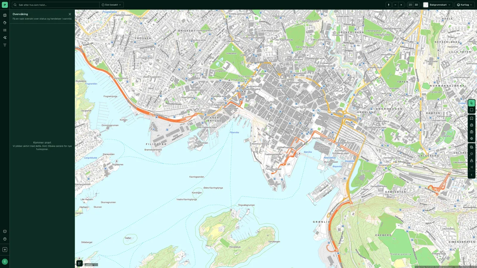
What has changed in the portfolio since you last looked?
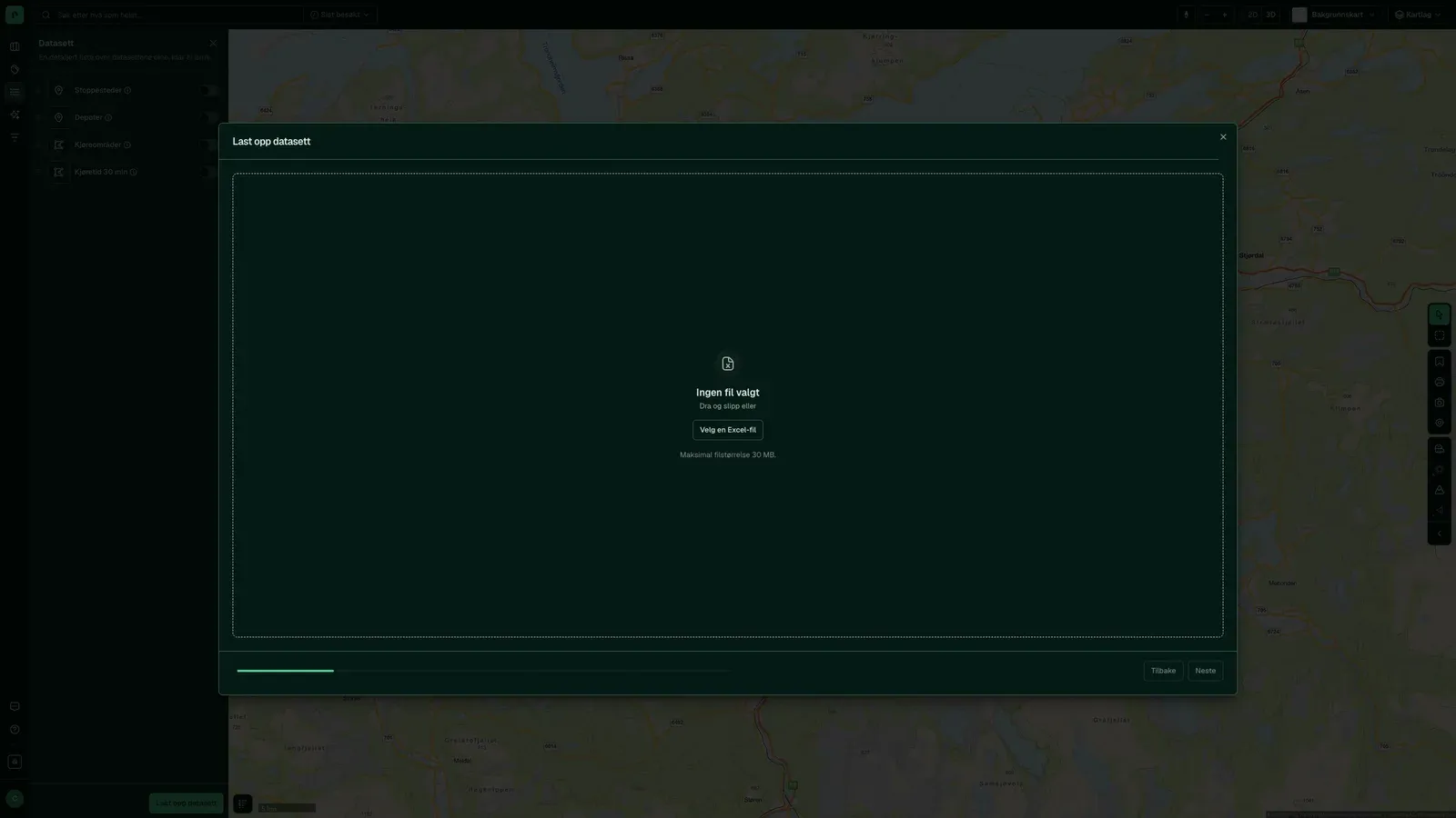
MonitoringLoad your portfolio as a dataset and get alerts when something happens on your properties: new cases, ownership changes nearby, new map layers.
Source: Municipal post journals, Kartverket and the map layers, checked dailyWhich new cases have been filed on or near my properties?
Case insight with MonitoringWe check the post journals daily against the properties and areas you follow. You see the case before the neighbours ring.
Source: Post journals from more than 330 municipalities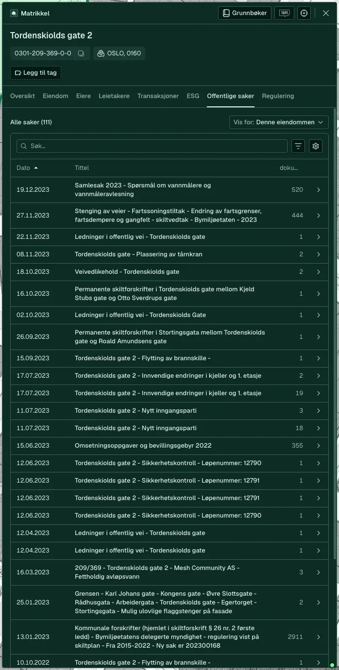
How are values developing in the areas where I own property?
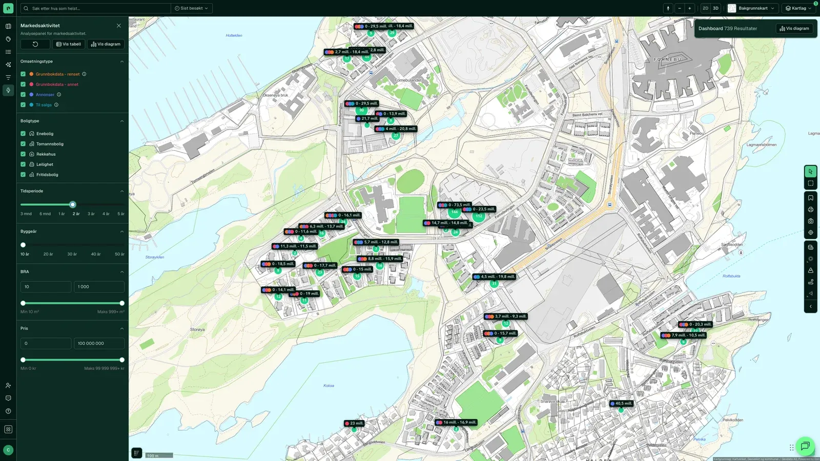
Market Activity and Area ScoreTransactions and price levels per area over time, and an Area Score that shows what pulls values up and down.
Source: Kartverket, SSB (Statistics Norway) and Placepoint's analyses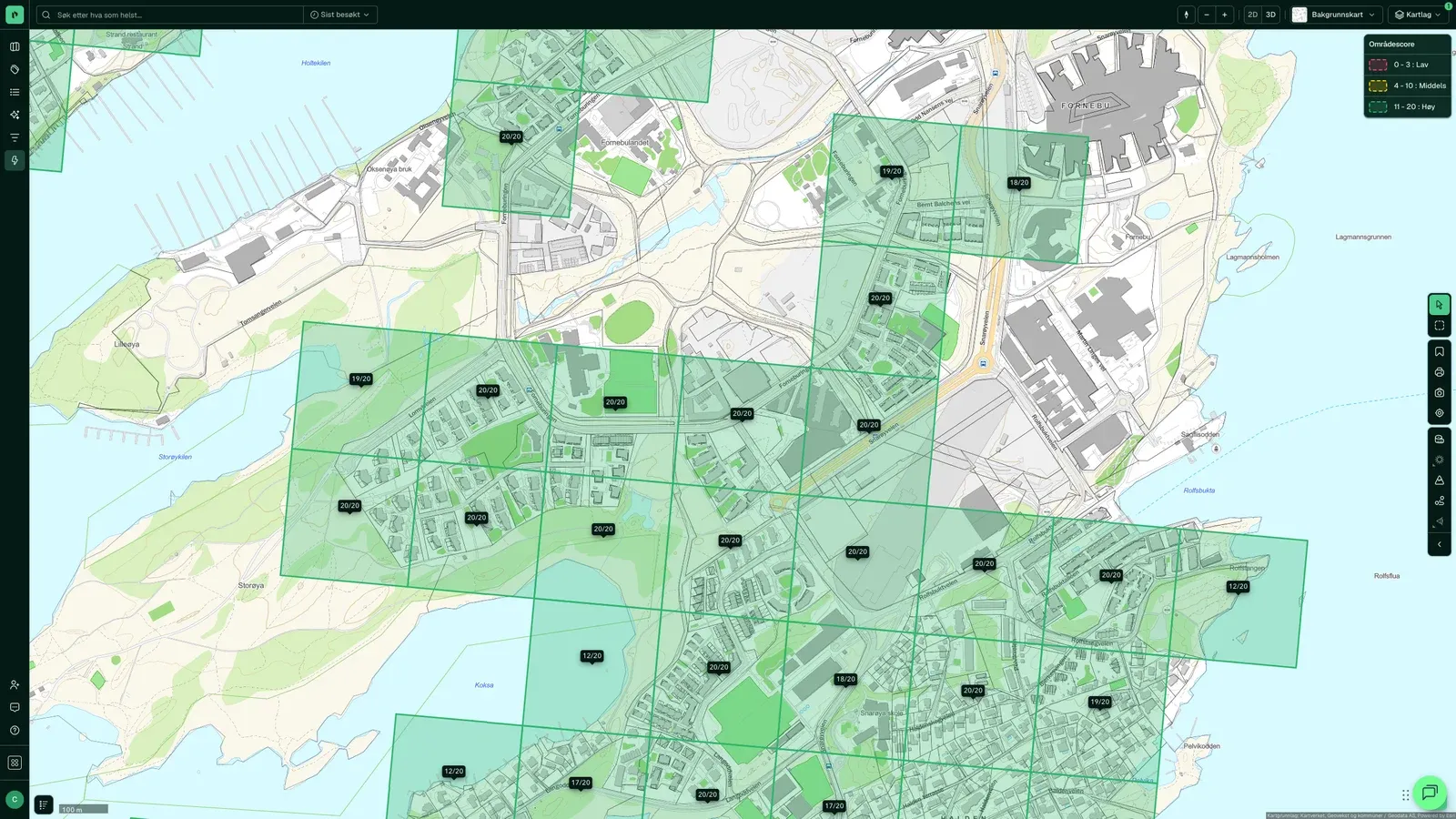
What new risk has appeared in the map layers?
The risk map layersWe update quick clay, landslide, flood and noise data from the sources. Monitoring tells you when a zone changes near your buildings.
Source: NVE, NGU and Statens vegvesen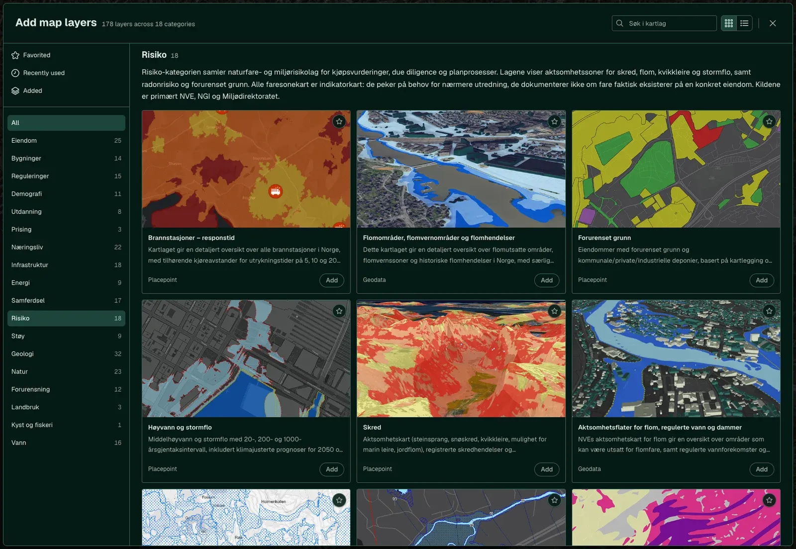
How to do it
From first search to running the portfolio
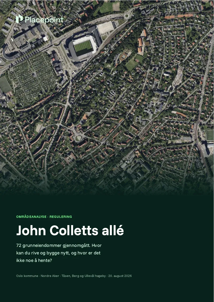
Five steps, as they look in Fusion. The screenshots show the feature, not the customer's own data.
- municipalities with post journals, checked daily
- 330+
- Source: docs.placepoint.no/om/tall, retrieved 16 October 2026
- address changes a year
- 300 000
- Source: docs.placepoint.no/om/tall, retrieved 16 October 2026
- map layers updated from the sources
- 2 500
- Source: docs.placepoint.no/om/tall, retrieved 16 October 2026
The sources behind the answers
Monitoring reads post journals, land registrations and map layers every day. When something changes at your properties, we tell you.
Ask the Agent
The same answer in Claude, Copilot or ChatGPT
Placepoint AI gives your AI tool the same data as Fusion, with the source for each field. Three questions from this phase, and what you get back.
What has been registered on my properties in the last 30 days?
You getThe cases and ownership changes per property, sorted by date.
Which of my buildings are in a flood zone?
You getA list of the buildings that touch a zone, with the zone named.
Create a quarterly report for the portfolio
You getCases, ownership changes in the neighbourhood and new map layers per property, with sources.
Examples. About Placepoint AI
What customers say
How they use it in this phase
“We make active use of Placepoint in our nature-risk mapping. The data is an important part of what we base our decisions on.”
 Anne Cecilie Oterkjær, Head of Nature and Environment, OBOS
“Placepoint provides property data that is an important input to our work. The quality and breadth of the data make a real difference day to day.”
 Marius Duffaut, Head of Property, Product Norway, If
Learn more
Terms you will come across in this phase
Cadaster
The matrikkel is Norway's official register of properties, buildings and addresses. Learn what it contains, who uses it and how to find matrikkel data for a property in Placepoint.
Read the articleRegistersLand Registry
Grunnboken (the Land Registry) is Norway's register of property rights. Learn what it contains and how to read it.
Read the articleAcross the whole value chain