









Datasets
The sources behind every lookup, delivered in your format.
Extracts from all our data for your own models and systems, and your own data on the map. GeoJSON, Shapefile, PostGIS, Excel or scheduled sync with your database.
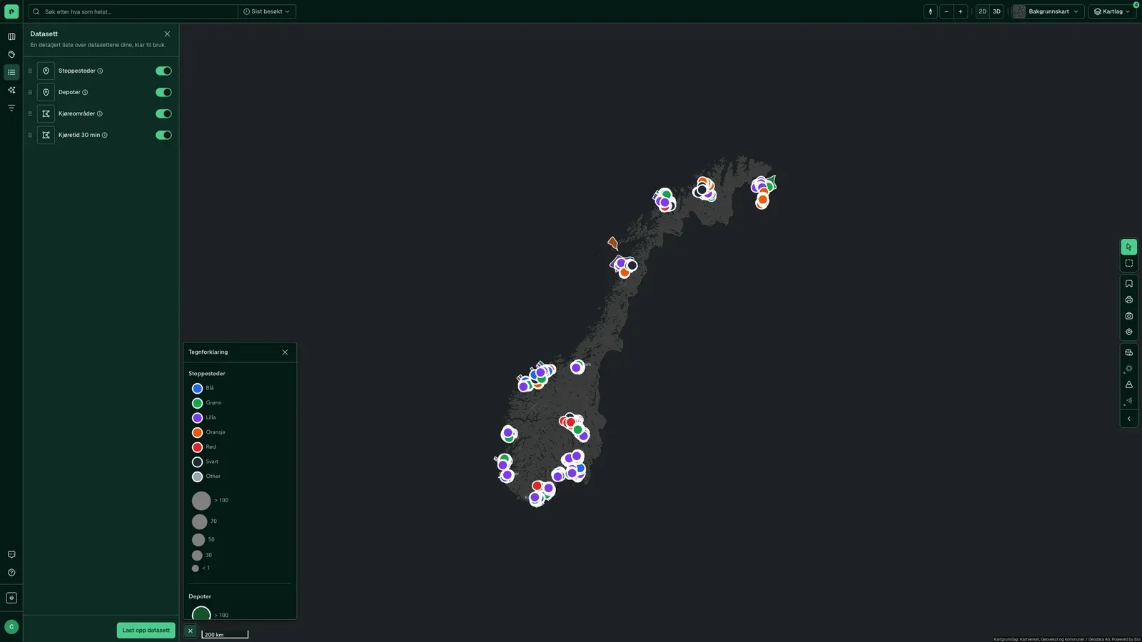
Extracts from all our data into your systems
Select a dataset and an area, and the data arrives in the format your system needs. You can get it once or as a scheduled sync with your database.
- Around 2,500 map layers and the registers behind every lookup
- Polygon, district, municipality or the whole country
- GeoJSON, Shapefile, PostGIS, Excel or direct sync
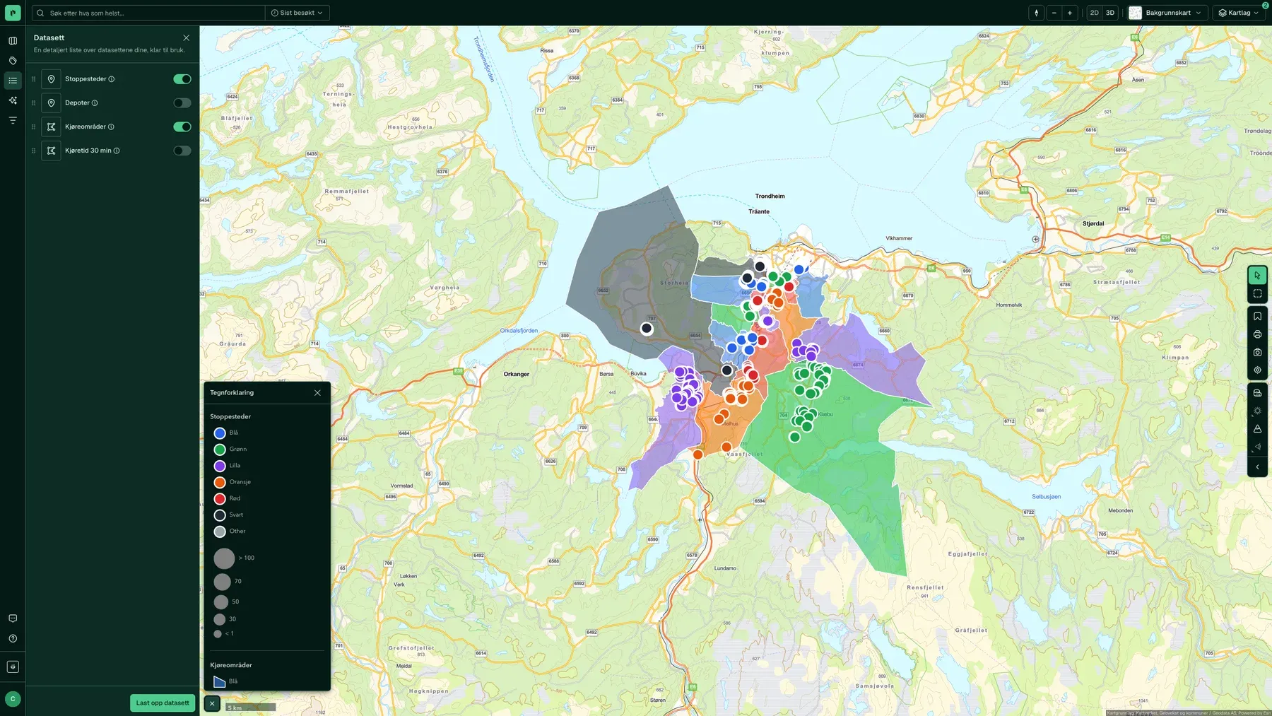
Your own data on the map, linked to the matrikkel
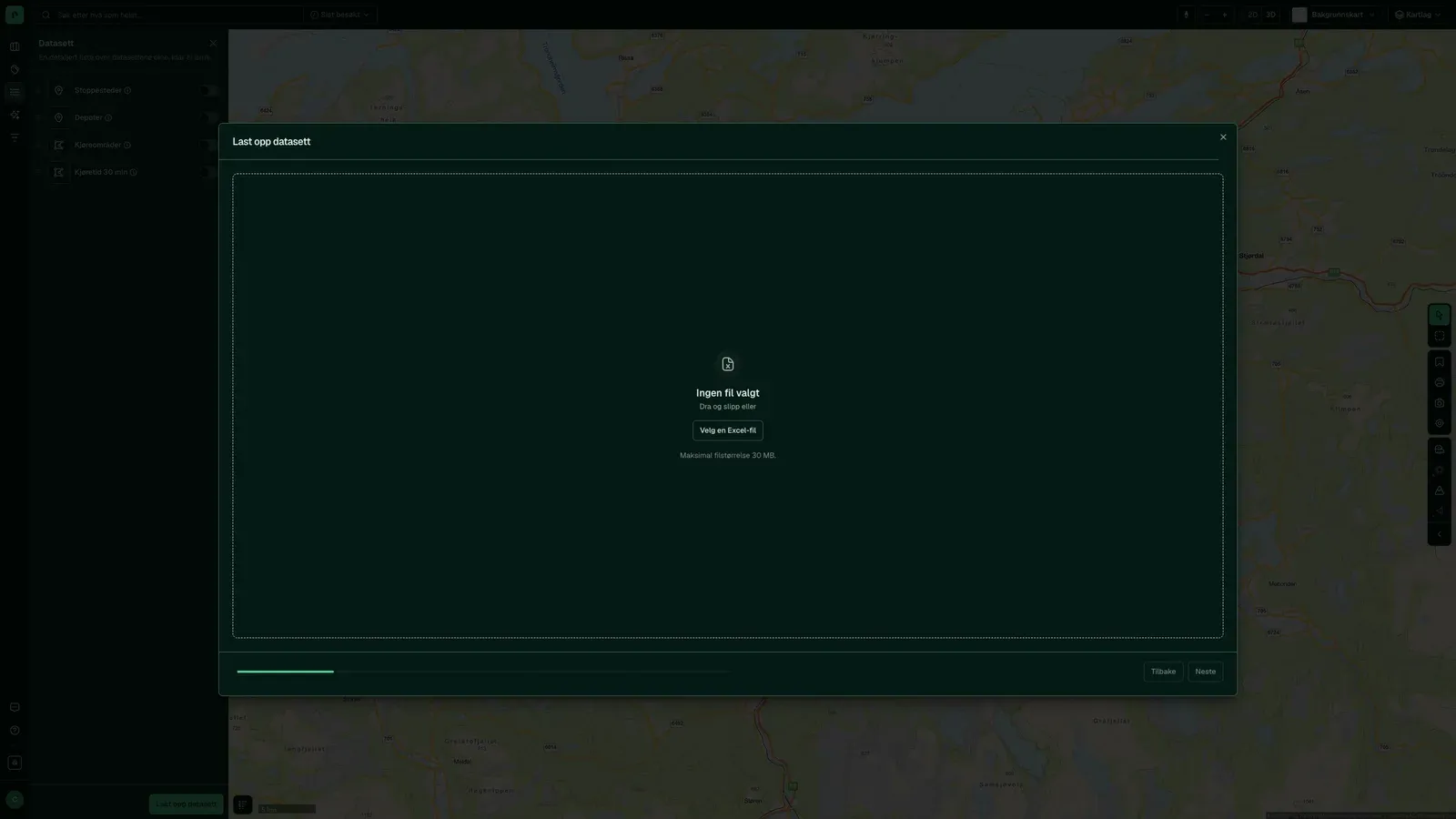
Upload an Excel file with addresses, cadastre numbers, coordinates or WKT. We link the rows to the properties, and they become a layer you see alongside ours, with tags and filters.
- Excel, CSV, GeoJSON or WKT
- Linked by address or cadastre number
- Shared with your team as a map layer in the project
On request
Custom datasets when the standard package falls short
- Your own fields and filters
- Built for your needs, on top of the API.
- Your own update intervals
- From daily to hourly.
- Sources we do not have
- Tell us, and we will get it.
How it works
Collecting and structuring data
Select datasets
Choose from nine categories and around 2,500 map layers, or ask for a source we do not have.
Define area
Polygon, district, municipality or the whole country.
Select format
GeoJSON, Shapefile, PostGIS or a copy to your data system.
Download or sync
Once, or as a recurring sync with your database.
Formats
Whatever your system asks for
- GeoJSON
- Shapefile
- PostGIS
- Excel
- GeoPackage
- KML
- CSV
- WGS84
- Out
- GeoJSON, Shapefile, PostGIS or direct sync.
- In
- Excel with lat/long, WKT or GeoJSON in the cells. We convert other formats.
- Coordinates
- WGS84 (EPSG:4326) in decimal degrees.