









Kartbanken
Buy the map you are missing, for the area you work in.
Our online shop for map and design data from Kartverket, for architects, designers and consulting engineers. Draw the area, choose product and format, and get the data delivered. Launched in 2010, part of Placepoint since 2025.
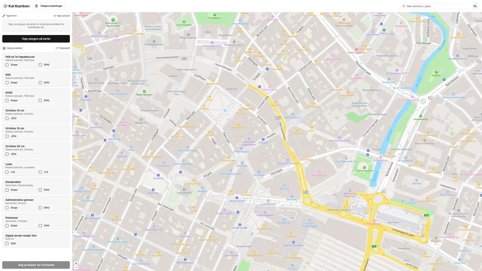
How it works
Draw, choose, order
- 01
Search for the area
Log in and find the place. The account is free.
- 02
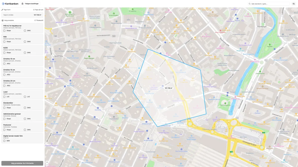
Draw a polygon
Click points around the area you need data for.
- 03
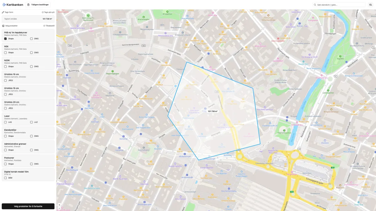
Choose product and format
Shape, DWG, JPEG, LAS or DEM, depending on what your tool reads.
- 04
Order
The price depends on product and area. Fill in your contact details and confirm.
What you can buy
Seven products from Kartverket
The price is calculated from the products you choose and the size of the area. The account is free.
- Kartverket
FKB with contour lines
One-metre contour lines. Shape and DWG.
- Kartverket
N5K and N20K
Map data at two scales. Shape and DWG.
- Kartverket
Orthophoto
10 to 20 cm resolution. JPEG.
- Kartverket
Laser scanning
Point clouds. LAS and LAZ.
- Kartverket
EiendomEier
From the matrikkel. Shape and DWG.
- Kartverket
Boundaries and postcode areas
Administrative boundaries. Shape and DWG.
- Kartverket
Terrain model
Digital terrain model 10 m. DEM.
- Go to Kartbanken
What it looks like
From drawn area to chosen product
Kartbanken or map layers?
Map layers are what you see in Fusion. Kartbanken delivers files.
- Map layerThe thematic maps you switch on and off in the platform. Included with your licence.
- KartbankenMap and design data for your own project tool, bought per area.
- Placepoint APIIf the maps need to go into your own systems, they go through the API.