









Datasets · Agriculture
Land cover types (AR5), already linked to every property.
The main classification in AR5, NIBIO's national land resource map, based on vegetation, natural drainage and human influence. Every square metre of Norway is classified as one of 12 land cover types:
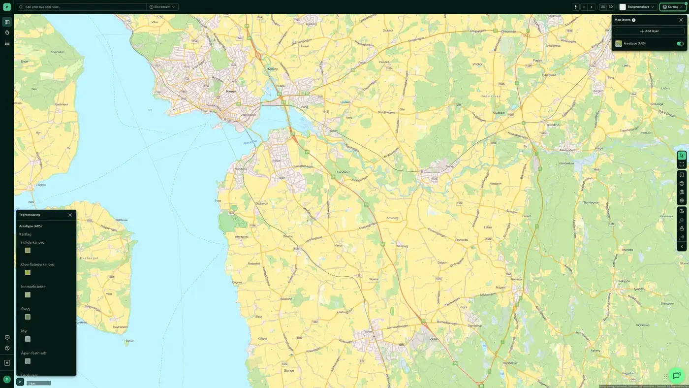
What the dataset contains
Land cover types (AR5) in Placepoint
The main classification in AR5, NIBIO's national land resource map, based on vegetation, natural drainage and human influence. Every square metre of Norway is classified as one of 12 land cover types:
Agricultural land: fully cultivated land, surface-cultivated land, infield pasture (all protected under section 9 of the Land Act)
Forest (with site quality in 7 classes from Særs høy (very high) to Impediment (unproductive))
Bog (land with a peat layer of at least 30 cm)
Open land, Glacier, Freshwater, Sea
Built-up, Transport and communications, Not mapped
The dataset is managed by the Norwegian Institute of Bioeconomy Research (NIBIO) and is a required basis for municipal land-use planning and agricultural management. For developers, the land cover type is decisive: cultivated and arable land triggers farmland protection and can block development without an exemption, while forest can trigger forestry interests. Part of the Agriculture map layer in Placepoint. Related: Arable land (potential, not active farmland), Marka boundary.
This text is based on the dataset documentation, synced 16 October 2026.
More in the Agriculture map layer
Datasets often read together
Arable land
Arable land is land that, if cultivated, can be brought up to the standard of fully cultivated land. It is a latent topsoil reserve that is not necessarily in active production today.
About the datasetReindeer husbandry
Geographical boundaries for reindeer husbandry in Norway, from the reindeer husbandry administration at Landbruksdirektoratet (the Norwegian Agriculture Agency).
About the datasetHow often are land cover types (AR5) updated?
Weekly. The frequency follows the source and is shown on the dataset in Placepoint.
Where does the data come from?
From Norsk institutt for bioøkonomi (the Norwegian Institute of Bioeconomy Research). We collect the data, check its quality and link it to the correct property, with the source and date on every field.
How do I see land cover types (AR5) for a property?
Look up the address in Fusion and turn on the Agriculture map layer. The dataset is a separate layer there. Click on the map to see the details in the property panel.
Can I get the dataset programmatically?
Yes. The same data is available in Placepoint API and in Placepoint AI through MCP, so you can bring it into your own systems and agents.
Used where decisions really matter







