









Datasets
Building prohibition zones – power lines, already linked to every property.
Building prohibition zones along power lines are restricted areas around transmission grid lines. They are set up under a licence under the Energy Act and either expropriation or a voluntary agreement with the affected landowners. You cannot put up new buildings inside the zone, and you must clear all terrain and construction work with the line owner (Statnett SF) in advance.
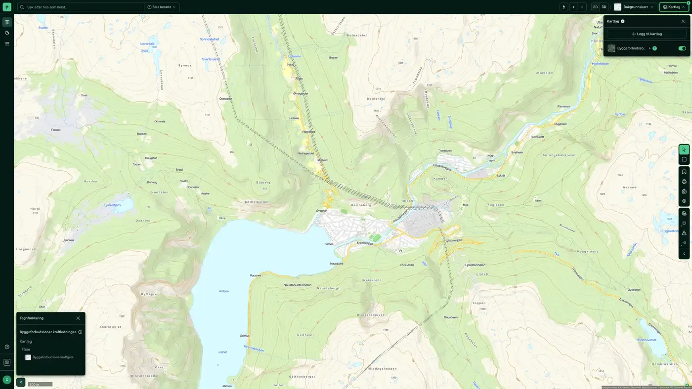
What the dataset contains
Building prohibition zones – power lines in Placepoint
Building prohibition zones along power lines are restricted areas around transmission grid lines. They are set up under a licence under the Energy Act and either expropriation or a voluntary agreement with the affected landowners. You cannot put up new buildings inside the zone, and you must clear all terrain and construction work with the line owner (Statnett SF) in advance. A wider duty to notify also applies: if you use machinery that can reach within 30 metres of the outermost live line, you must give notice and get clearance.
The dataset is a national overview from Statnett, compiled and supplied to us by Norges vassdrags- og energidirektorat (NVE). It was previously called "Hensynssoner kraftledninger". For a developer, this dataset is a required check on all plots near the transmission grid. As a general rule, you cannot build on a plot inside the zone, and even plots just outside may face requirements for mitigation measures. It is part of our Energy and Risk map layers. Related: Grid installations, Substations, towers, poles & licences, Planned Electrical Installations in the Power System.
This text is based on the dataset documentation, synced 16 October 2026.
How often is the building prohibition zones – power lines dataset updated?
Weekly. The frequency follows the source and is shown on the dataset in Placepoint.
Where does the data come from?
From Norges vassdrags- og energidirektorat. We collect and quality-check the data, then link it to the right property, with source and date on every field.
How do I see building prohibition zones – power lines on a property?
Look up the address in Fusion. The dataset is in the property panel for the property.
Can I get the dataset programmatically?
Yes. The same data is available in Placepoint API and in Placepoint AI through MCP, so you can bring it into your own systems and agents.
Used where decisions really matter







