









Datasets
Counties' borders, already linked to every property.
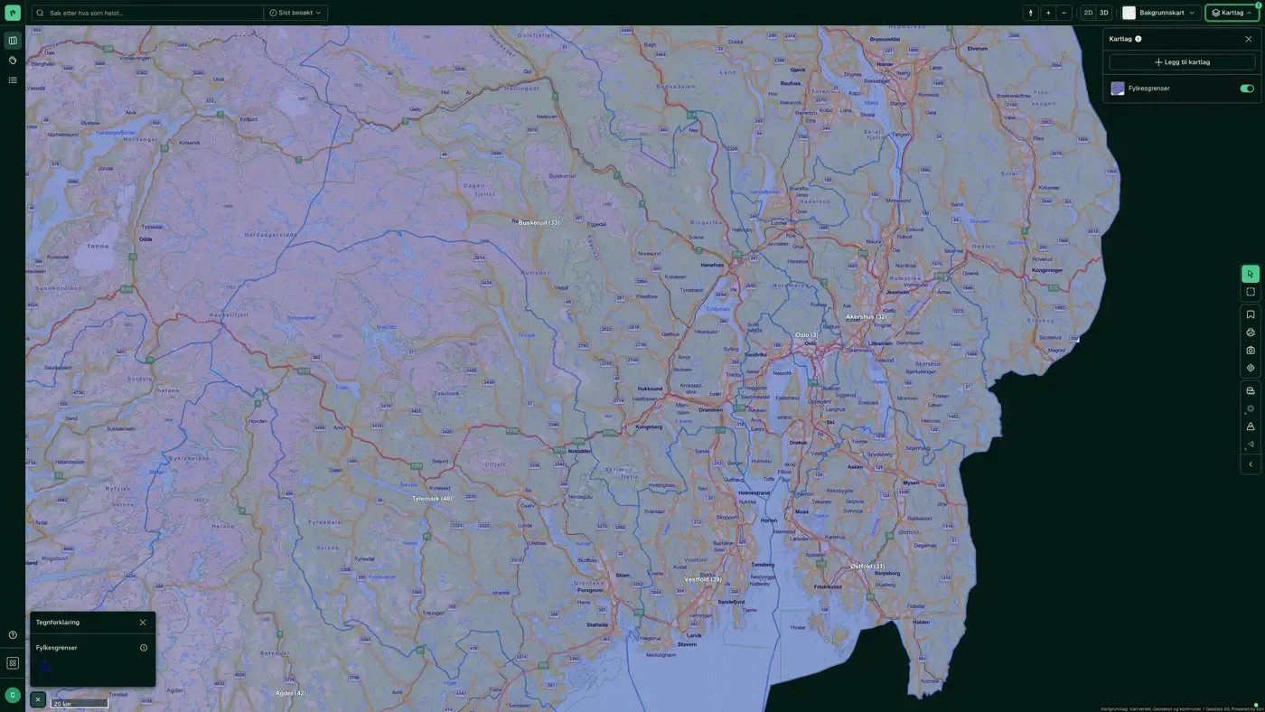
Norway's counties with county numbers and official boundaries, the top level of Norway's administrative division, used as a geographic filter in many Placepoint analyses. After the 2020 regional reform, the number of counties was first reduced from 19 to 11, and from 1.
What the dataset contains
Counties' borders in Placepoint
Norway's counties with county numbers and official boundaries, the top level of Norway's administrative division, used as a geographic filter in many Placepoint analyses. After the 2020 regional reform, the number of counties was first reduced from 19 to 11, and from 1 January 2024 four of the mergers were reversed. The dataset changes only when the Storting (the Norwegian parliament) adopts such administrative adjustments.
The boundaries are supplied by Kartverket. Together with Municipality Borders, the layer forms the framework for county and municipal statistics in the Demographics and Business map layers.
When an administrative unit changes.
This text is based on the dataset documentation, synced 16 October 2026.
How often are counties' borders updated?
When the source changes. The frequency follows the source and is shown on the dataset in Placepoint.
Where does the data come from?
From Kartverket. We collect the data, check its quality and place it on the right property, with the source and date on every field.
How do I see counties' borders for a property?
Look up the address in Fusion. The dataset is in the property panel for the property.
Can I get the dataset programmatically?
Yes. The same data is available in Placepoint API and in Placepoint AI through MCP, so you can bring it into your own systems and agents.
Used where decisions really matter







